Mitigate Land Busts with Topographic Comparisons
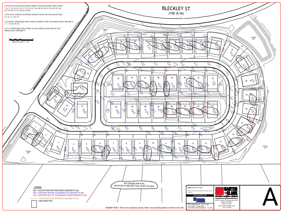
Topographic comparisons analyze the difference in proposed grading plans and actual grades on 30+ finished lots at a time. A drawing indicates and lists lots and locations where actual grades vary beyond the acceptable threshold for error provided by the builder.
Learn more about the topographic comparison service by clicking the image below.
